Weather Radar: How It Works and Why It Keeps You Safe
Have you ever looked at your phone and seen bright splashes of green, yellow, and red moving across a map? That is a weather radar! It is one of the most important tools used by people who study the weather. Without it, we would not know when a big storm is coming or if we need to grab an umbrella before heading outside.
Think of a weather radar like a giant ear that “listens” for rain. It helps us see things in the sky that our eyes cannot always spot from the ground. Whether it is a light drizzle or a giant snowstorm, this technology is always working to keep us informed. In this article, we will explore how it works, why it is so cool, and how it saves lives every single day.
Quick Facts: The Biography of Weather Radar
| Feature | Details |
| Full Name | Radio Detection and Ranging (Meteorological) |
| Main Purpose | Tracking rain, snow, and severe storms |
| First Used For Weather | Late 1940s (After World War II) |
| Key Inventor | Robert Watson-Watt (Early Radar Concepts) |
| Primary Technology | Doppler and Dual-Polarization |
| Modern Reach | Global (Used by planes, ships, and news stations) |
How Does Weather Radar Actually Work?
A weather radar works by sending out invisible energy called radio waves. A large dish spins around and shoots these waves into the sky. If the waves hit something, like a raindrop or a snowflake, they bounce back to the dish. This is very much like how an echo works when you yell into a big tunnel.
The radar computer calculates how long it took for the wave to go out and come back. If the echo returns quickly, the rain is close. If it takes longer, the storm is far away. By doing this thousands of times a second, the radar creates a picture of where the rain is falling right now.
What is Doppler Radar?
You might have heard the term Doppler radar on the evening news. This special type of radar does more than just find rain; it can tell which way the wind is blowing. It uses the “Doppler Effect,” which is the same thing that happens when a siren sounds higher as it moves toward you and lower as it moves away.
By measuring these changes in the radio waves, the radar can tell if a storm is moving toward your house or away from it. This is super helpful for spotting rotating winds. When meteorologists see these winds spinning, they can send out warnings for tornadoes much faster than they used to.
Understanding Dual-Polarization Technology
The newest and coolest upgrade to the weather radar is called dual-polarization. Old radars only sent out horizontal waves (flat like a pancake). Modern radars send out both horizontal and vertical waves (tall like a skyscraper). This allows the radar to “feel” the shape of the objects in the air.
Because it can see the shape, it can tell the difference between a round raindrop and a flat snowflake. It can even spot “debris” like pieces of wood or shingles if a tornado is on the ground. This makes our weather maps much more accurate and helps us know exactly what is falling from the sky.
Why We Need Weather Radar for Safety
The most important job of a weather radar is keeping people safe. Before we had this technology, storms could surprise whole cities. Now, we can see a thunderstorm forming hours before it arrives. This gives families time to find a safe place to hide or move their cars under a roof.
Radars also help pilots fly planes safely. Pilots use them to see where the air is bumpy or where big storms are hiding. By flying around the “red” spots on their screens, they keep passengers safe and comfortable. It is a vital tool for travel on land, sea, and in the air.
How to Read a Weather Radar Map
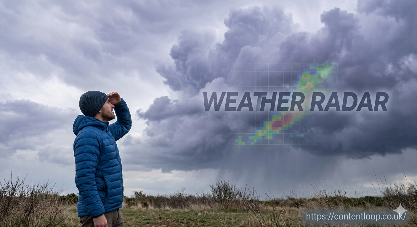
Reading a radar map is easy once you know the “rainbow” secret. Most maps use colors to show how heavy the rain is. Light green usually means very light rain or just clouds. Dark green and yellow mean steady rain that might soak your clothes.
If you see orange or bright red, that means heavy rain and maybe some lightning. The rarest colors are purple or white, which usually stand for hail or very intense thunderstorms. Next time you see a map, look for the direction the colors are moving to see if you will need your boots!
The History of Tracking the Skies
Believe it or not, weather radar was discovered by accident! During World War II, soldiers used radar to look for enemy planes. They noticed that sometimes “ghostly” blobs would appear on their screens and block their view. They soon realized these blobs were actually rain clouds.
After the war ended, scientists realized they could use this to help people. They started building radars just for the weather. Over the years, these machines became smaller, faster, and much smarter. Today, we have a huge network of radars that cover almost the entire country.
Ground Clutter and Ghost Echoes
Sometimes, the weather radar sees things that aren’t actually rain. This is called “ground clutter.” This happens when the radio waves bounce off buildings, mountains, or even a swarm of birds! If you see a still spot on the radar that never moves, it might just be a tall tower.
Modern computers are good at filtering these out, but sometimes “ghost echoes” still appear. Even wind turbines can confuse a radar if they are too close. Meteorologists are trained to look for these mistakes so they don’t tell you it’s raining when the sun is actually shining.
The Future of Weather Technology
The future of the weather radar is looking very bright. Scientists are working on “Phased Array” radars. These don’t have a spinning dish; instead, they use a flat panel with thousands of tiny antennas. This allows the radar to scan the entire sky in seconds rather than minutes.
Faster scans mean we can see a tornado forming almost the instant it starts. This could give people even more time to reach safety. As computers get faster, our weather apps will become even better at telling us exactly when the rain will start and stop at our specific front door.
Weather Radar and Our Daily Lives
It is hard to imagine a world without a weather radar. We use it to plan soccer games, weddings, and walks in the park. It helps farmers know when to plant their seeds and helps truck drivers stay safe on the highway. It is a silent hero that works 24 hours a day.
Even though we can’t see the radio waves, they are always scanning the horizon for us. The next time you check your phone to see if a storm is coming, remember the amazing technology behind that colorful map. It is a perfect mix of science, math, and safety all in one!
Frequently Asked Questions About Weather Radar
What is the most common type of weather radar used today?
The most common type is the Doppler radar. Most weather stations and national services use a specific network called NEXRAD (Next-Generation Radar). These systems are powerful enough to see movement inside a cloud, which helps experts spot rotation that might lead to a tornado. Because they are so reliable, they are the gold standard for keeping the public safe during severe weather.
Can weather radar see through mountains?
No, a weather radar cannot see through solid objects like mountains. This is known as “beam blocking.” Since radar waves travel in a straight line, a tall mountain can act like a wall, stopping the signal from seeing what is on the other side. This is why many regions have multiple radar stations spread out, ensuring that one can see what another might miss.
Why does the radar sometimes show rain when it is dry outside?
This often happens because of something called “virga.” This is rain that starts falling from a high cloud but evaporates in dry air before it ever hits the ground. The weather radar sees the rain high up in the sky and colors the map, but you stay dry on the sidewalk. It can also be caused by “ground clutter,” where the radar waves bounce off things like tall buildings or even large swarms of insects.
How far can a single weather radar tower see?
A typical weather radar can see out to about 150 to 250 miles. However, the further away the storm is, the less detail the radar can see. This is because the Earth is curved. As the radar beam travels further out, it eventually gets too high in the sky to see the rain falling near the ground. Most weather experts look at data from several towers at once to get the full picture.
Is weather radar the same as satellite imagery?
No, they are quite different tools! A satellite looks down from space and takes pictures of the tops of the clouds. A weather radar sits on the ground and “looks” into the clouds to see the moisture inside. Think of the satellite as a camera taking a photo of a cake, while the radar is like an X-ray that shows you the filling inside the cake. Both are needed to understand the weather fully.